 (+95-9) 7757 30372
")
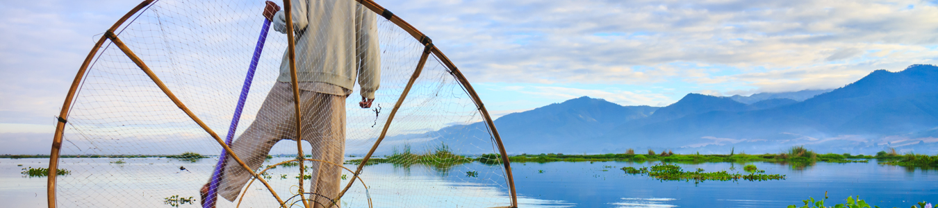
 Lake")


Chin State is a unique destination of Myanmar. Its capital is Hakhar and majority is Christian. There are 14 townships in the Chin State: Cikha, Hakha, Falam, Kanpalet, Matupi, Rezua, Mindat, Paletwa, Rihkhuadar, Thantlang, Teddim, Tuithang and Tonzang. Chin state is also known as the “Chin Hills” due to its mountainous geography that has an average elevation of 5000-8000 feet, where the hills are higher than in Shan hills. In winter, the temperature drops to as low as two degrees Celsius and very windy. This is the perfect place to take the road less travelled. To the north and east of Chin State is Sagaing Division, to the south are Magway Division and Rakhine State, to the west are Bangladesh and India.
Chin state has two well-known mountains that are attracting visitors. One is located at Southern Chin state, named Mount Victoria (Nat-Ma-Taung), the state’s highest peak and the other is Mount Zihmuh, located between Hakha and Falam. They also have a very beautiful Heart Shape lake, called Rih Lake. Don't expect much in the way of comfort here. Instead, revel in a land that looks like it's barely been touched by human hands.
Nat Ma Taung (Mt. Victoria)
Nat ma Taung (Mt. Victoria) is located in the Kanpatlet township of southern Chin State. It is accessible by land from Pakokku and Seikpyu. It is 193 km away from Pakokku and 150 km from Seikpyu and is 8 hours drive to Pakokku via Ayeyarwaddy Bridge. It is the highest mountain in the Chin state in the western part of Myanmar and is on part of Chin mountain range with a height of 3053 meters above sea level.
Nat Ma Taung is one of the highest peaks of Southeast Asia, which is now protected within Nat Ma Taung National Park established in 1994. The area is 279 square miles and also an Association of ASEAN Heritage Park and an important bird watching area. Visitors can trek from Kanpetlet to Nat Ma Taung National park as it is located only 15 miles away. The ruggedly beautiful scenery is also full of colourful flora and fauna and offers great opportunities for hiking whether a simply half-day climb up Mount Victoria or a multi-day exploration of the surrounding mountains and villages with your local Chin guide.
Reih (Rih) Lake
This heart-shaped natural lake is renowned as one of the prettiest spots in Myanmar. Situated at a distance of about two miles from Tiau which is the boundary river between Mizoram (India) and Myanmar and is within the village area of Rihkhawdar in Myanmar. The village itself is an establishment of adventure that lures the visitor to explore the mysterious and supposedly demon-haunted lake. It is 14 miles from Champhai in Mizoram and 63 miles from Falam, a town of Myanmar. Every year locals and visitors from neighbouring India visit this lake to worship and pay homage to the spirit guards of the lake. The lake is full year-round and is famous for turning red in winter, from mid-December for approximately one or two months. For the people of Myanmar, this is one of the most beautiful places to enjoy the sweet and romantic vacation.
Kennedy Peak
Kennedy Peak is a 2,703-metre (8,868 ft) peak in the Tedim Township of the Chin State of Burma (Myanmar) that dominates the Tedim Road. It’s one of the world's ultra-prominent peaks, as it rises 4,951 feet (more than 1500 m) above all other peaks nearby. It the second highest mountain in Chin State, next to Mount Victoria. It was the site of a battle during World War II in which Ram Sarup Singh, a subedar of the British Indian army, led his unit with great bravery in attacking and capturing a strong Japanese-held position, then persisting despite wounds in defending it against counterattacks, until killed. He was posthumously awarded the Victoria Cross. Instead, a rough road leads to the peak from Sozang village. The hike up will be an easy couple of hours and the views are great along the way.
Matupi Bungtla Waterfall
Bungtla Waterfall, 26 km away from Matupi, is the longest waterfall in Chin state. In Chin state, Bungtala waterfall is one of the most famous natural resources. The height of Bungtal waterfall is over 1500 ft and it falls by 9 levels. Even though Bungtla is flowing in 9 levels, it is available 5 levels to go. The rest 4 levels are almost impossible to reach. Suitable for observe and research rare biodiversity and rare species of reptile and can see the attached honeycomb on the wall of rocky waterfall.